Hastingleigh.com A Genealogy Website /One Place Study Contact e-mail
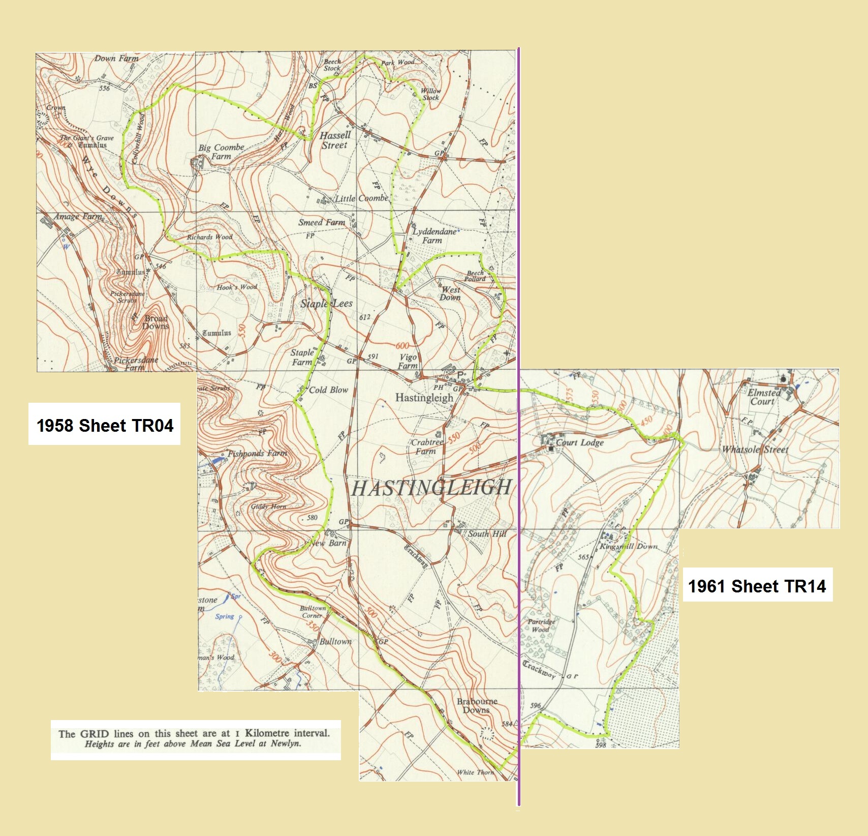
Hastingleigh on Ordnance Survey Maps 1958 & 1961
The following is taken from 2 Maps TR04 and TR014. Both revisions use metric measurements.
The original full maps can be viewed on an external website for the Library of Scotland.
MAP TR04 Click=1958 edition: West of Court Lodge & St. Mary's Church
MAP TR14 Click=1961 edition: East of Hastingleigh village and South Hill

